Speeches Launch Of Books On Muhammadu Buhari Titled – Working With Buhari: Reflections Of A Special Adviser, Media & Publicity (2015-2023)
Explore
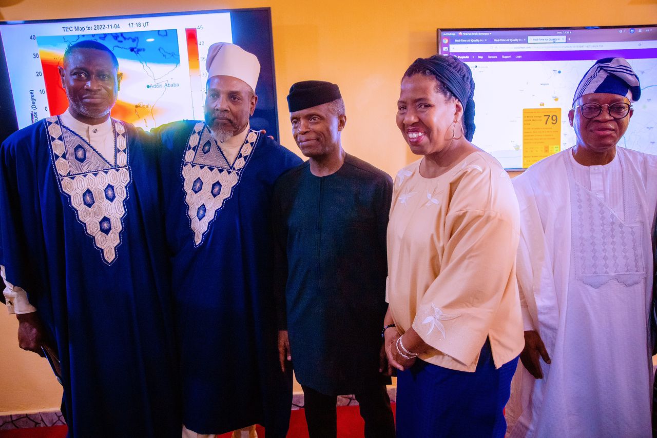
November 4, 2022
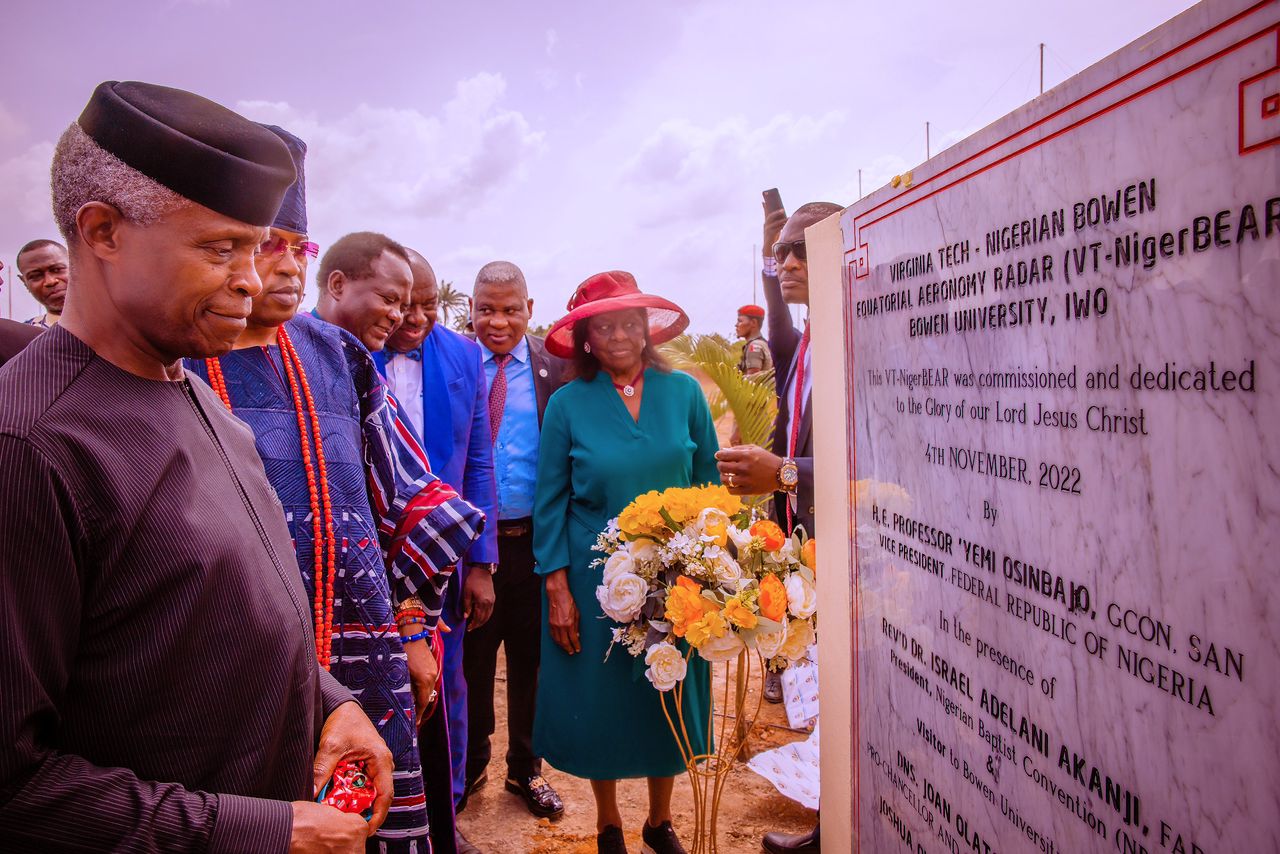
Launch Of Virginia Tech – Nigerian Bowen Equatorial Aeronomy Radar (VT-NigerBEAR)
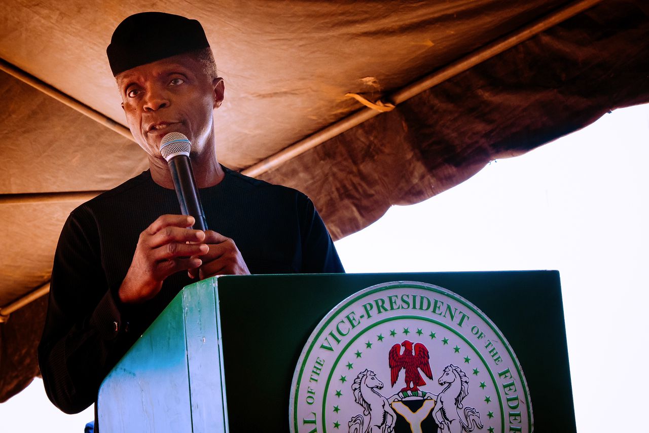
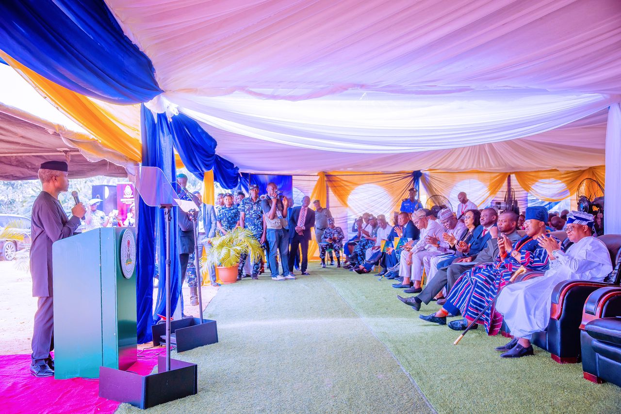
SPEECH DELIVERED BY HIS EXCELLENCY, PROF. YEMI OSINBAJO, SAN, GCON, VICE PRESIDENT OF THE FEDERAL REPUBLIC OF NIGERIA DURING THE LAUNCH OF VIRGINIA TECH. NIGERIAN BOWEN EQUATORIAL AERONOMY RADAR, VT-NIGERBEAR AT BOWEN UNIVERSITY, OSUN ON FRIDAY 4TH OF NOVEMBER, 2022
PROTOCOLS
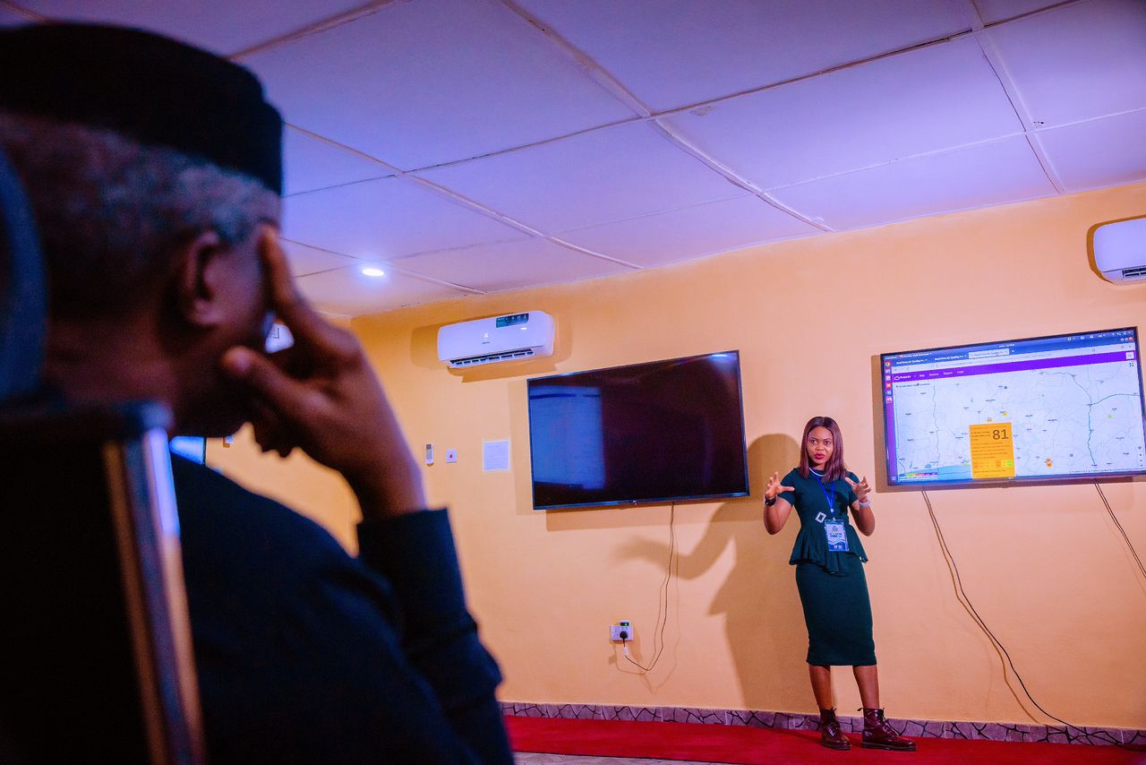
Today is one of those days when I am extra proud to be a Nigerian. Here we are, witnesses, to a monumental achievement, the launch of the Virginia Tech. Nigerian Bowen Equatorial Aeronomy Radar, VT-NigerBEAR. The VT NigerBear is the 36th Super Dual Auroral Radar Network or SuperDarn, for short, in the world.
The SuperDarn as we have heard is a network of High Frequency (HF) radars that look into Earth’s upper atmosphere. The radars operate round the clock and they observe the motion of charged particles (plasma) in the ionosphere and other effects that provide scientists with information on earth’s space environment. Their work provides insights into space weather hazards.
So, all long-distance High-Frequency signals such as in ocean-going vessels, aircrafts, global broadcast communications and short-wave radio communication may be affected by irregularities in the ionosphere. These irregularities degrade HF and GPS signals. The SuperDarn discovers these irregularities so that remedial action may then be taken.
The first SuperDarn monitoring conditions of the near-earth space environment in the high latitude regions achieved its official status in 1995.
In 2005/06, the “mid-latitude” SuperDarn began operating at the National Aeronautics and Space Administration (NASA) Flight Facility on Wallops Island, Virginia, USA. The second was deployed in Hokkaido, Japan in 2006.
Today, there are 21 mid-latitude SuperDarn radars across the world, providing immense technological advantages at the mid-latitude regions.
But irregularities in the ionosphere are also found in the lower latitudes, the equatorial low latitudes, and because there was no SuperDarn, the causes of degrading HF and GPS signals have remained a mystery. Now our own SuperDarn radar, the VTNigerBear will resolve all that mystery.
The VTNigerBear is the first and currently the only deployment of an equatorial-low-latitude SuperDarn anywhere in the world. This is a major leap forward in finding solutions to degradations of HF and GPS signals and will directly impact so many aspects of life and commerce.
The extensive experience of the SuperDarn creates opportunities for Nigeria to leverage existing expertise, information, and data as we join a global network with experience spanning decades.
The importance of this project for Nigeria is clear. It can radically transform communications – infrastructure, space research, equipment design, geo-mapping, forecasting and prediction of atmospheric, climatic and oceanic conditions within Nigeria and the near low latitudes. It could be useful for offshore oil exploration activities. It could also support the activities of the navy by measuring ocean wave heights, surface currents, and surface wind directions over vast, remote areas on our waterways. And it can also significantly change the quality of our communications, telecommunications devices, global positioning systems, satellite communications, military communications, aerial surveillance etc.
And in particular, the data obtained from the VT-NigerBEAR will be useful in the design of resilient equipment for Nigeria’s communications industry, and for the work of Government agencies such as the National Space Research and Development Agency (NASRDA) and Nigeria Communications Commission (NCC).
The data will also be useful for forecasting and prediction purposes for equipment manufacturers because Nigeria’s growth in technology will also leave us vulnerable to space weather effects.
For example, with the Canadian SuperDarn for example, Canada utilizes the data obtained from it to plan ahead for challenges such as pipeline corrosion, damage to electrical power grids, degradation of satellite navigation accuracy, loss of radio communications, and damage to telecommunications satellites that facilitate billions of dollars of business every day.
The SuperDarn is also an important part of the Canadian Space Agency’s Geospace Observatory, working with some institutions of higher learning, and public/private sector partners, the SuperDarn team makes significant contributions to space science research to understand the complex parts of the Space Weather system.
As Nigeria joins the SuperDarn, we must take advantage of the data collected by SuperDarn worldwide, utilizing the data obtained and in collaboration with the network to contribute to the understanding of space weather, its benefits and disadvantages, and its impact on operations such as radio and satellite communications, oil pipelines and power grids.
But perhaps more importantly, the success of this project will serve as a template for other high-level research and scientific collaborations between Nigeria and international partner institutions by connecting results to industry and converting data to useful information for commercial and social good projects.
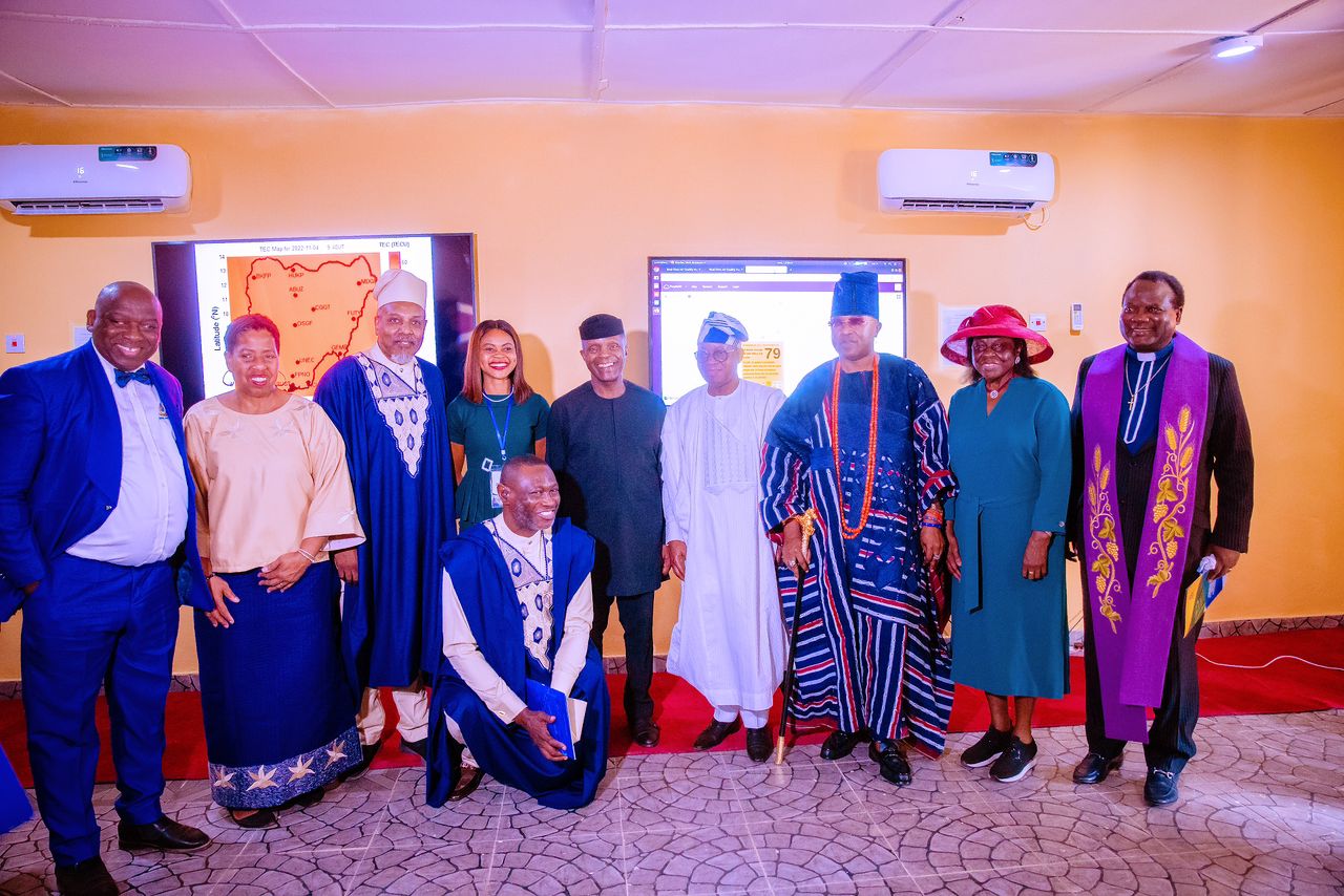
We are all extremely proud of Bowen University and the team that has worked on this project, placing Nigeria on the SuperDARN global map and in the network of nations that play host to the international scientific radar network.
I must commend especially the Vice Chancellor Prof. Joshua Ogunwole for his leadership on this project, the Principal Investigator, Dr. O.S. Bolaji of UNILAG, and the support of Prof A.B Rabiu of the Centre for Atmospheric Research, a unit of the National Space Research and Development Agency, the partners on this project, Virginia Tech and their very experienced team of scientists.
And of course, congratulations to this great citadel of learning and research – Bowen University for this amazing achievement and for making us all so proud. Congratulations everyone.
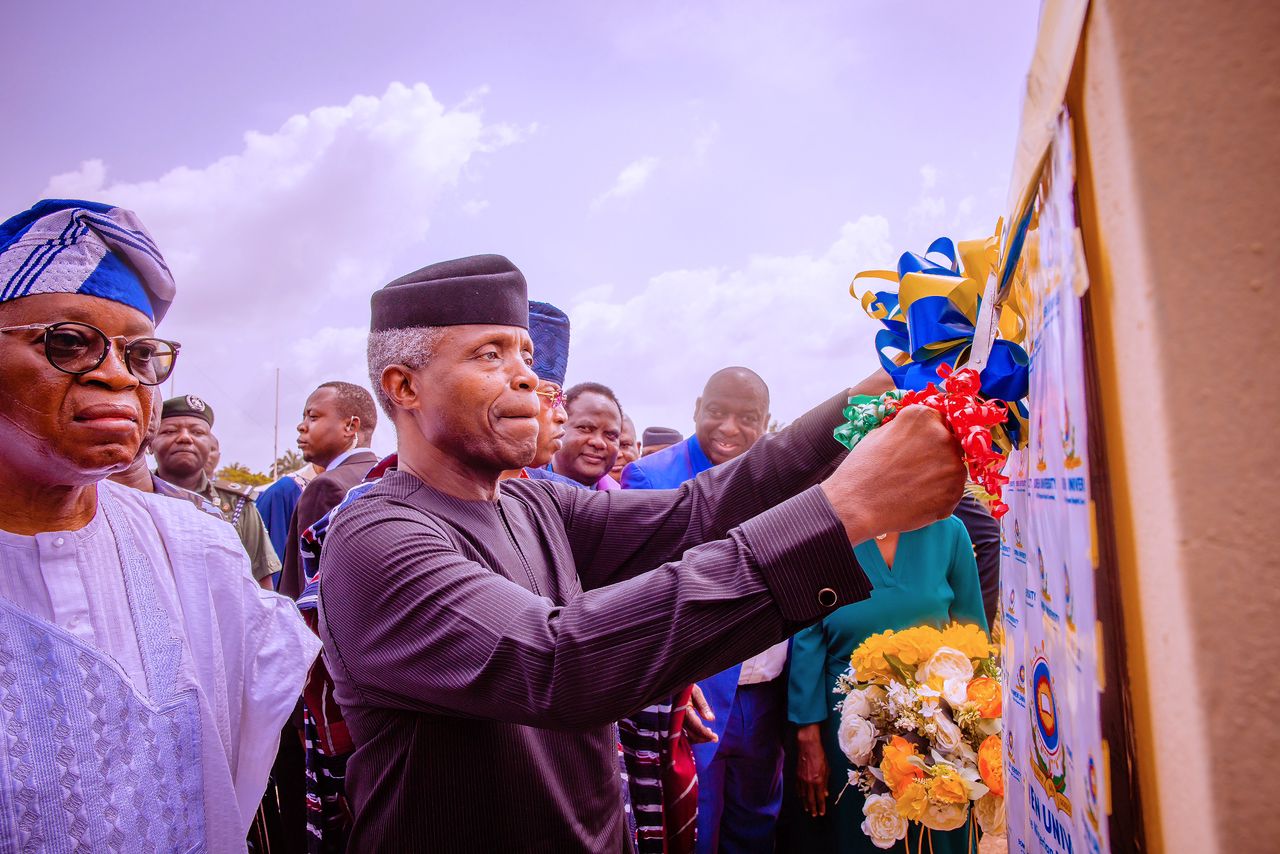
It is now my special pleasure and privilege to officially commission the Virginia Tech. Nigerian Bowen Equatorial Aeronomy Radar, VT-NigerBEAR for the benefit of Nigeria, the world and to the glory of God.
Thank you and God bless you all!
Gallery